A Grave Matter
Viks by, Torsåker
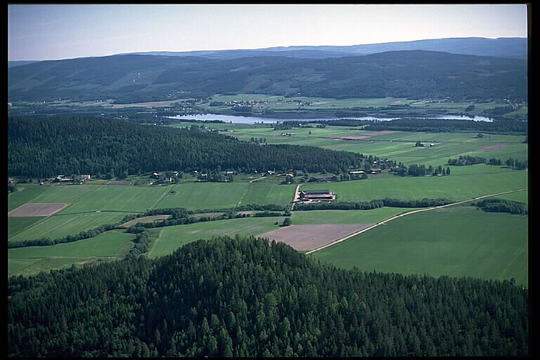
The Antiquarian's card for Vik is a report of something that is no longer there. It records no coordinates. Where the field for map position should be, the surveyor left the line blank. What it does record is this: on the rising ground above the tilled field at Vik there was an opened and damaged mound, and the traces of two more in which a sword and a spearhead had been found. Another mound had been cut through to make a road. Sidenbladh wrote this down in 1865. Ekdahl had been there before him, in 1827, and noted only that a farmer named Nils Jansson had thrown out the mounds twenty years earlier when he broke the ground for cultivation, and that there were others nearby. Later the inventory reader K-G Selinge went over the two accounts and concluded that more graves had stood in the village than either man had listed. The whole area is now registered as a burial ground, a grey shape drawn on the map between Vangsta and the Vik farms, with nothing inside it to see. Iron was buried there with the dead, which places the graves in the last centuries before the church arrived. The ploughing continued for another hundred and fifty years.
Open file →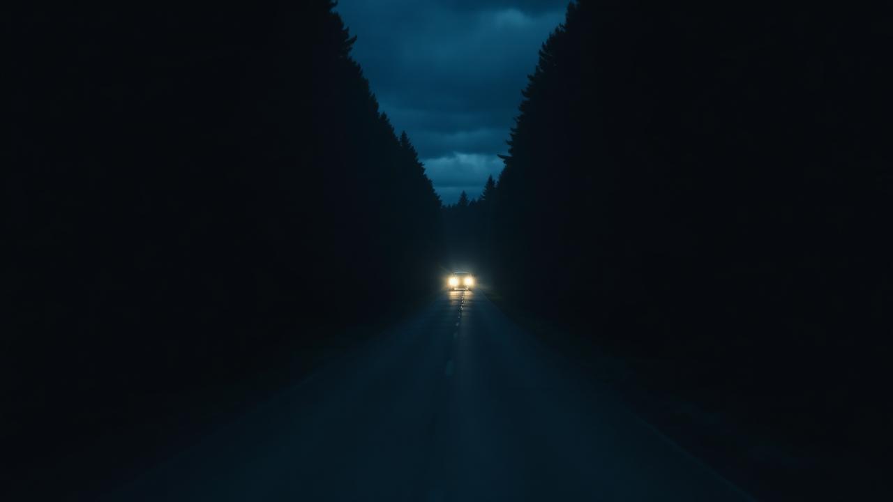
The Road North
Simsjövägen, Dals distrikt, Kramfors
There is a road that leaves the settled country and runs through kilometres of unbroken forest. It is called Simsjövägen. It has no fame, and almost no one uses the name. The stretch is under investigation by this archive. We are not ready to say why. What can be said is this: the road does not go anywhere it needs to go. It is unpaved, passes no village, serves no farm that could not be reached another way, and yet it exists, and it is driven. The investigation continues.
Open file →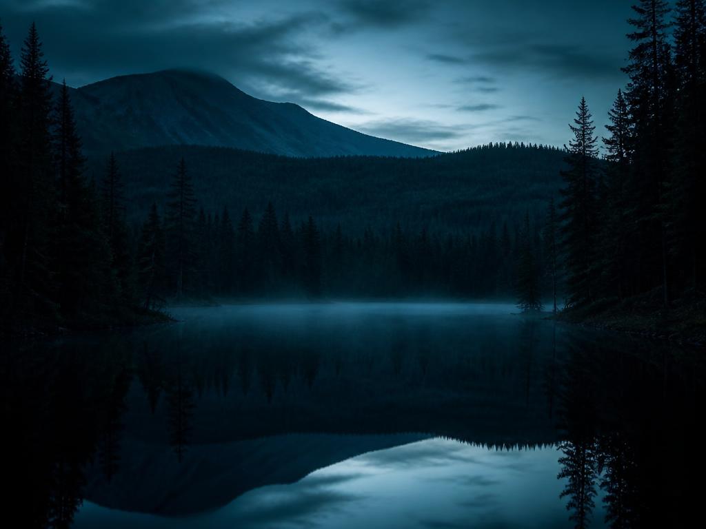
The Devil's Tarn
Djupdöveln, Torsåker
Djupdöveln is a lake and tarn in Kramfors municipality, in the province of Ångermanland, within Västernorrland County. It lies in Torsåkers district, a little more than seven kilometres north-northwest of the village of Nyland, and belongs to the main drainage basin of Ångermanälven. The land around it is broken and steep, crowned by the nearby height of Djupdövelsberget. In Norrland place-names the word carries a transferred sense: a 'devilishly deep hole', a bottomless pool, a dark and inaccessible forest tarn. Djupdöveln means, almost literally, the deep devil's hole, or the bottomless devil's tarn. The water is black where the sky enters it. The surrounding spruce hold the shore in shadow even at noon. We are looking into what has been seen there, and what has not come back.
Open file →